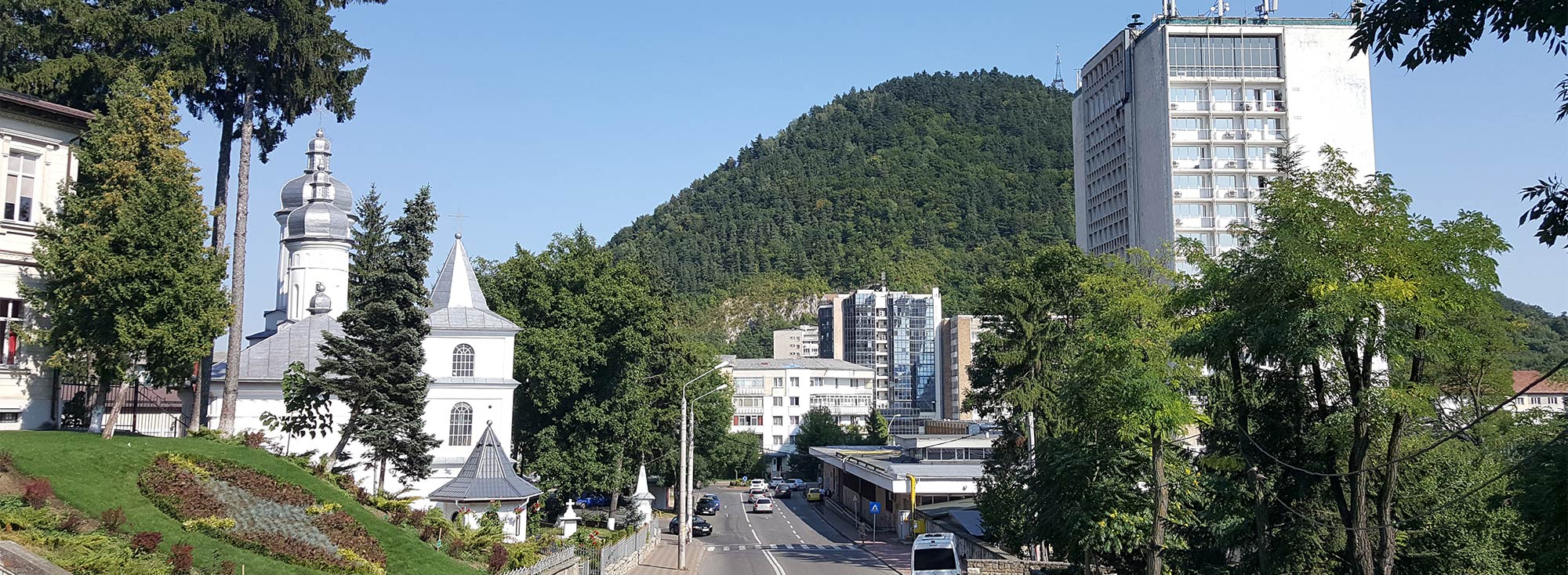
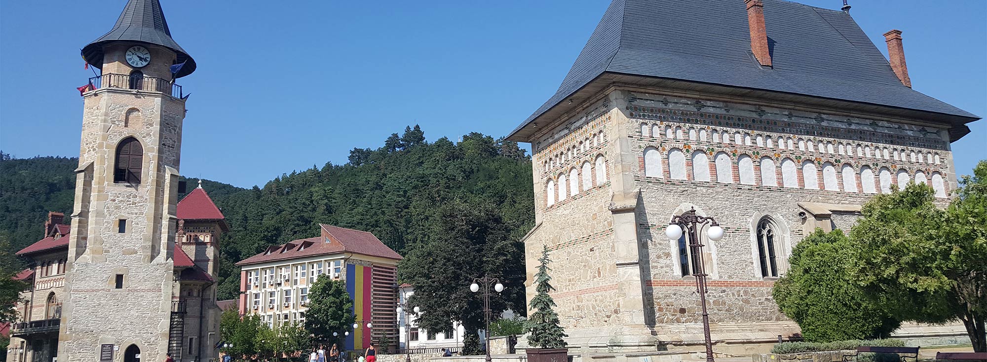
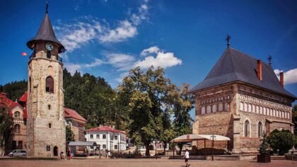
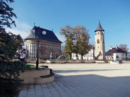
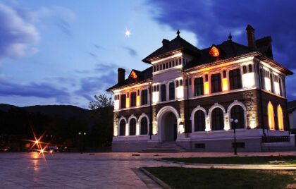
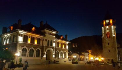
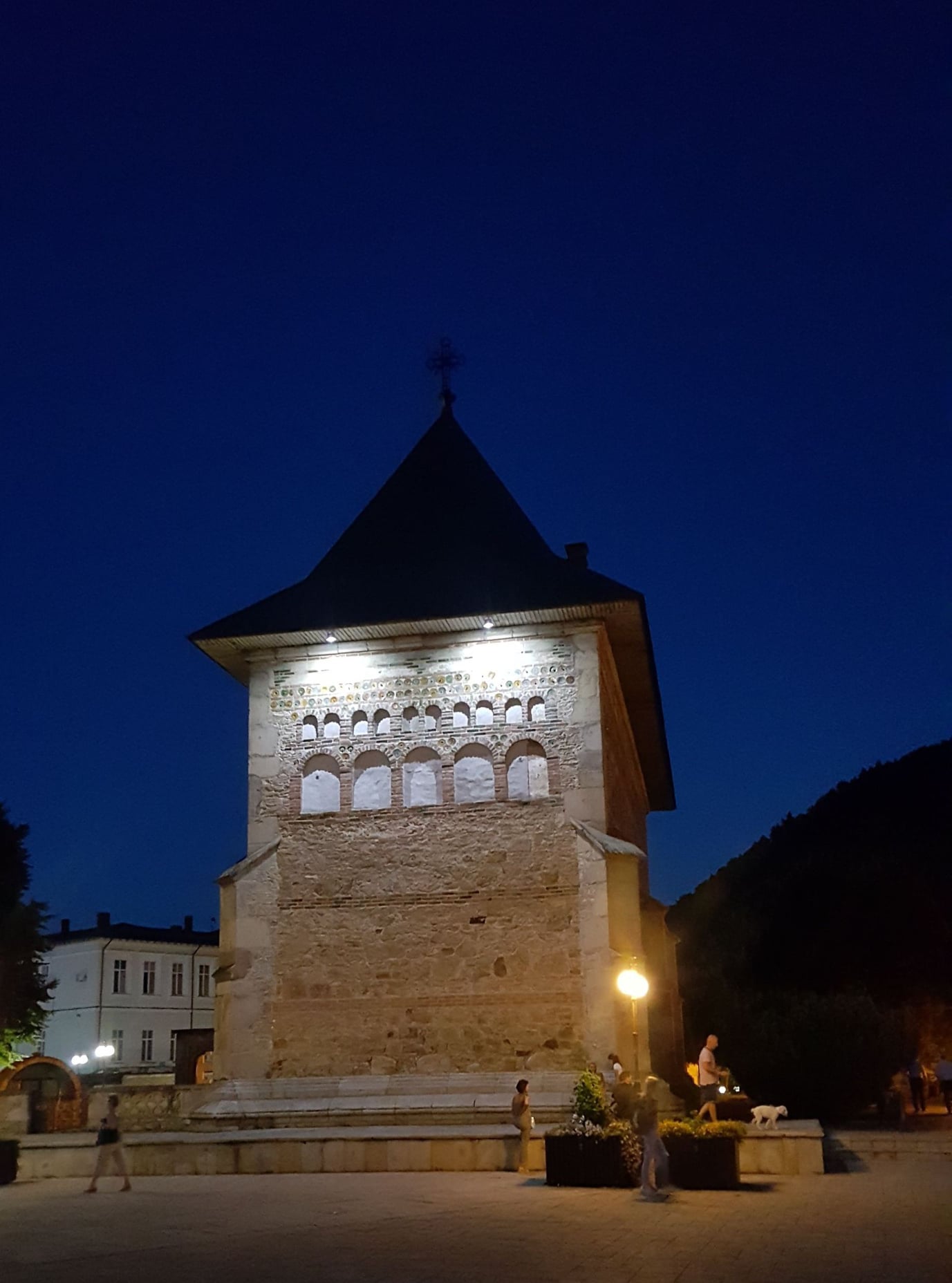
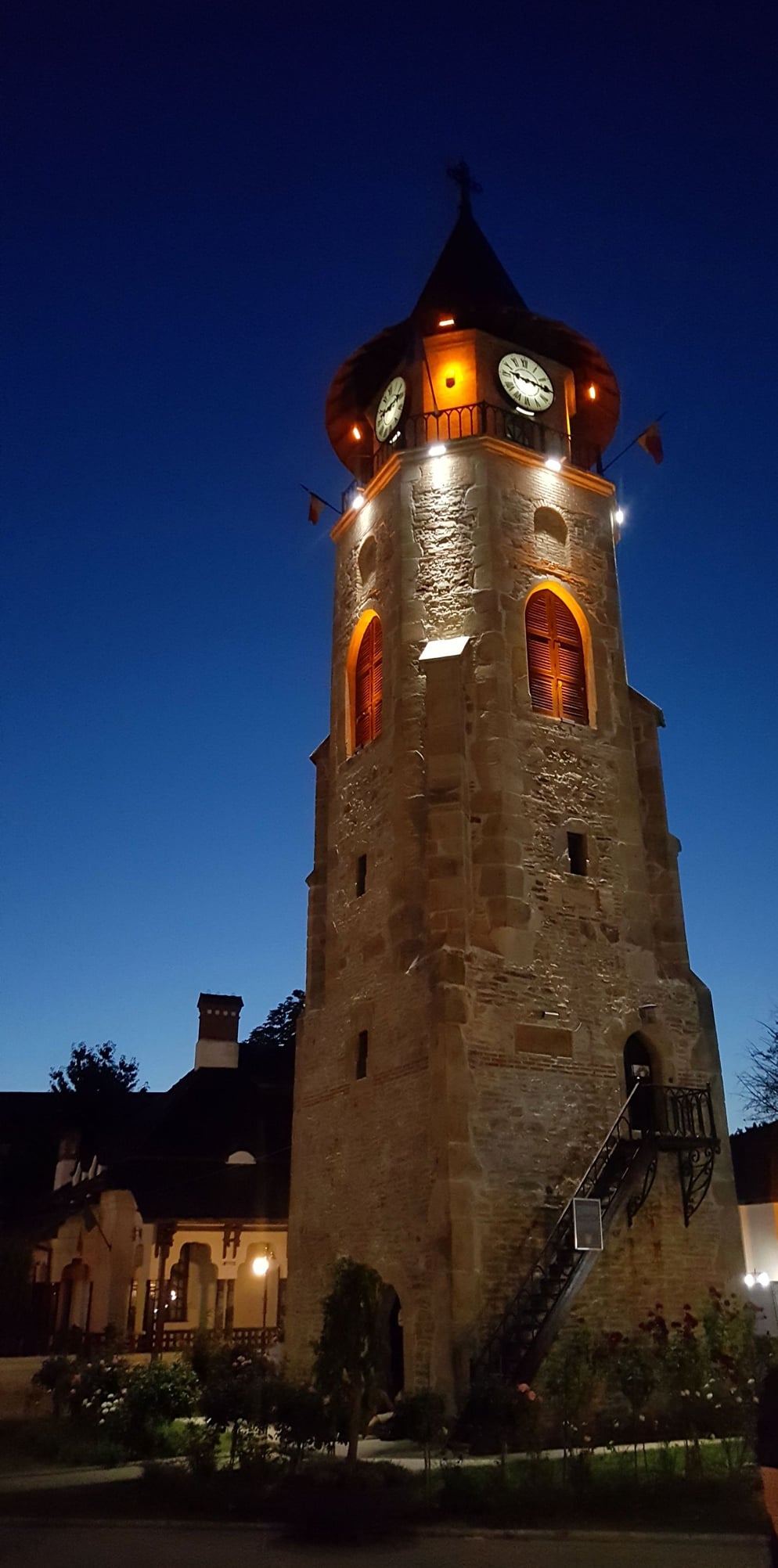
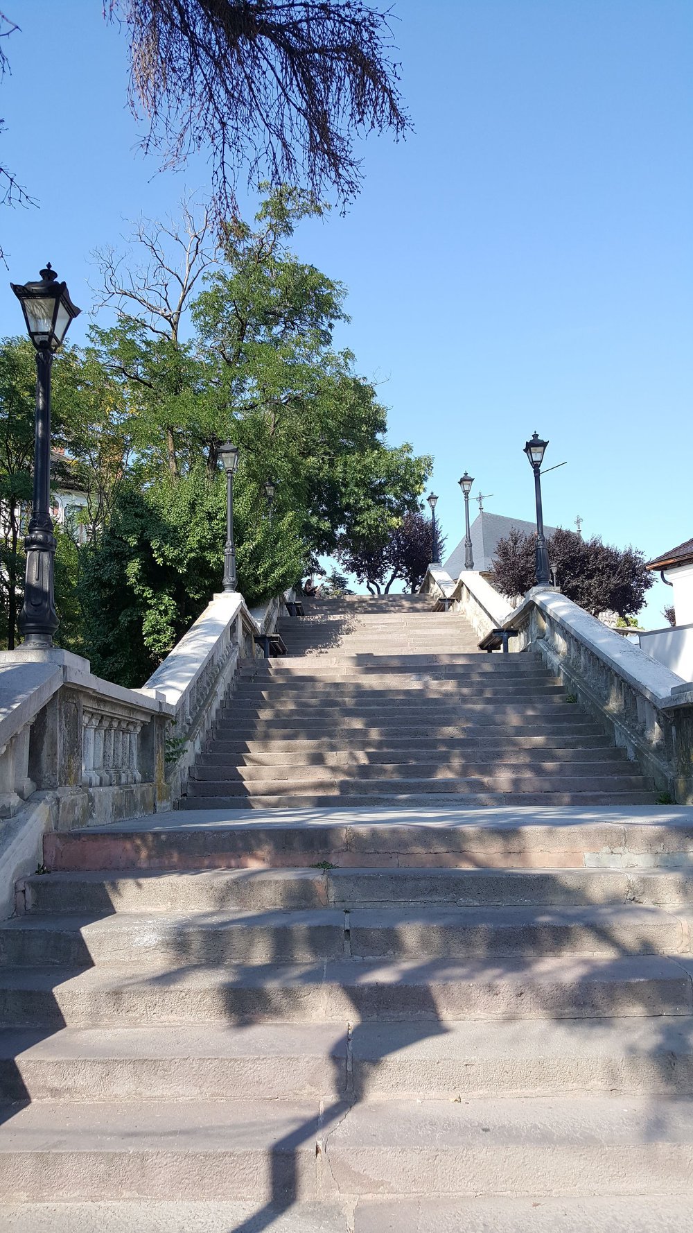
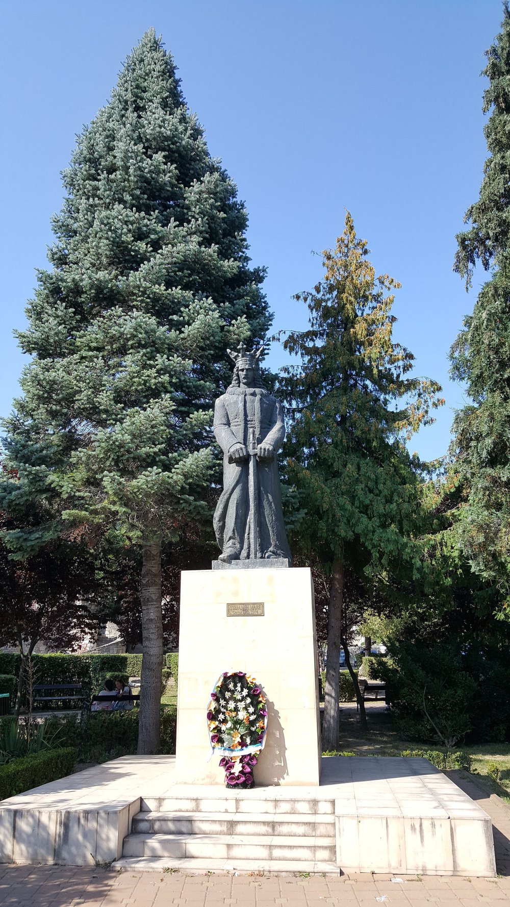
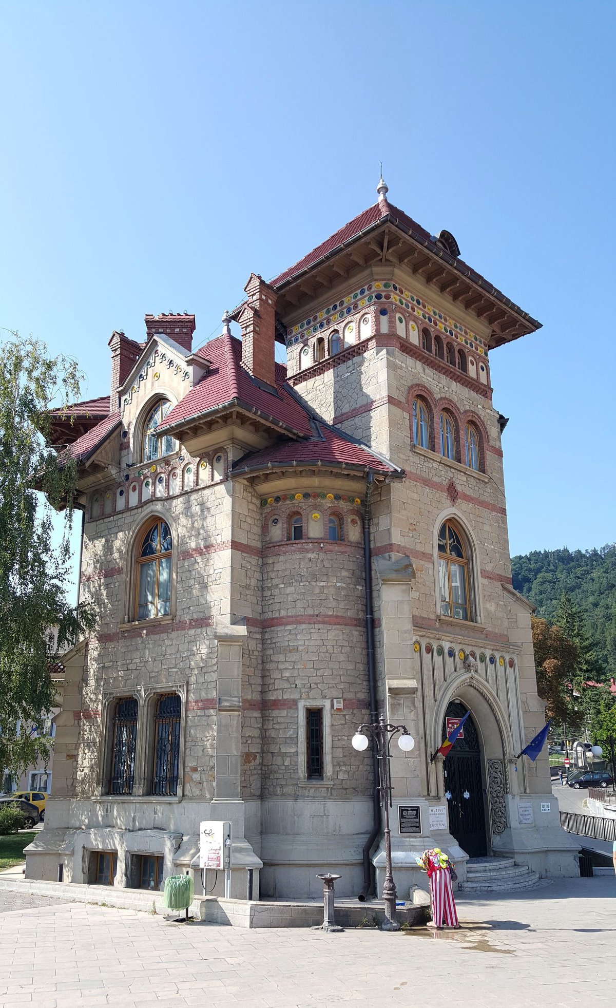
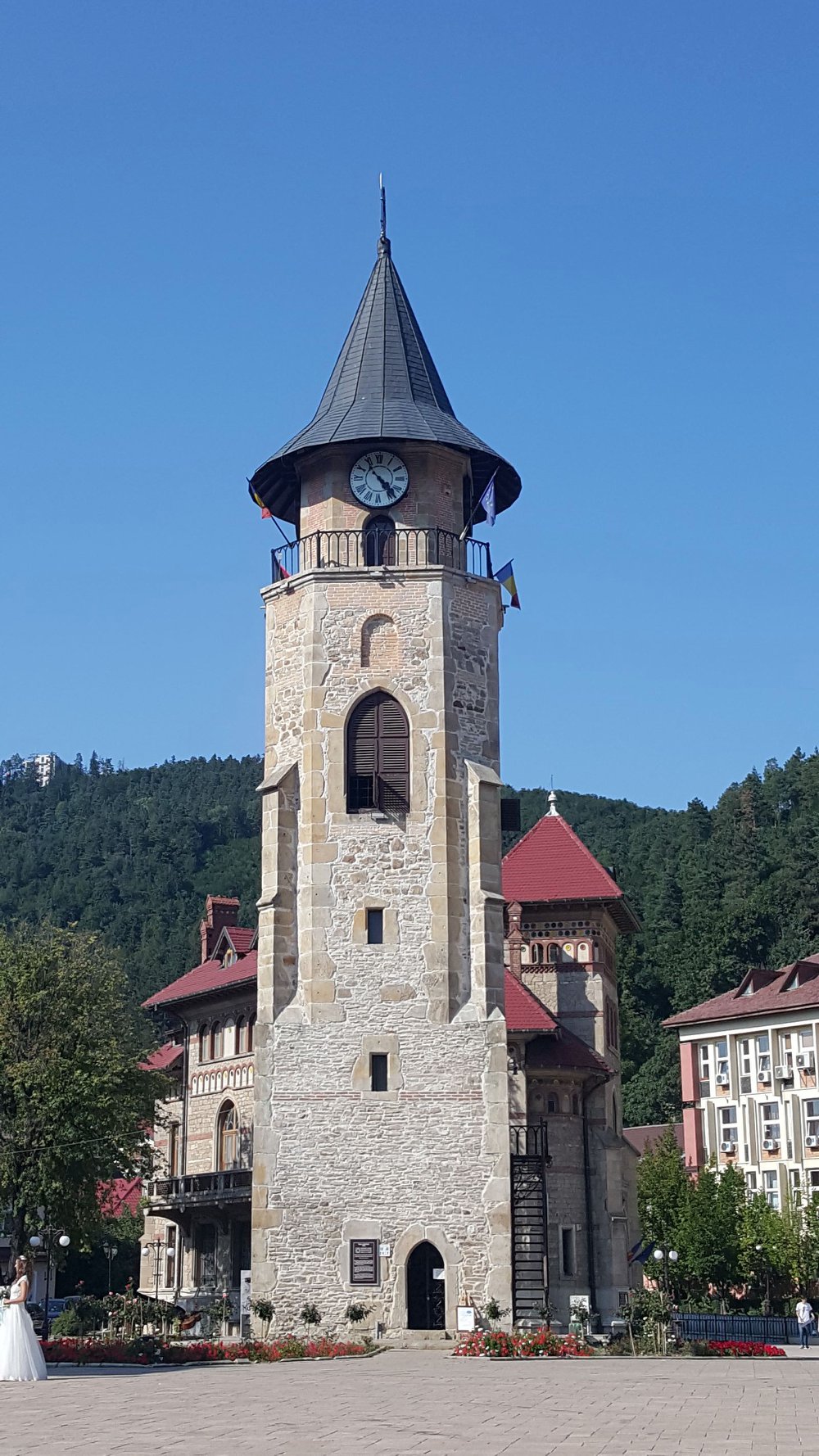
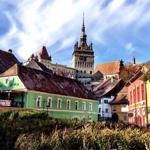
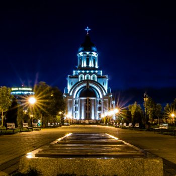
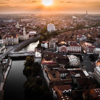
Brief description: For visitors to the Neamţ region, the town of Piatra Neamţ, the seat of the county, represents a real urban “island” between the mountains.
County: Neamț
Wikipedia: Piatra Neamț
Images: Red Frog
More information – Historical Attractions Sightseeing features
Here you will find many sights that will allow you to forget everyday life and enjoy nature that has been very generous to this region. Thanks to its privileged location in the Eastern Carpathians, this town in the historical region of Moldova is considered one of the most picturesque towns in Romania. Therefore, you cannot miss the opportunity to visit this area full of magic!
The town of Piatra Neamț, the seat of Neamţ County, is located on the Bistrița river valley, at its exit between the mountains, at the confluence with the Cuiejdi brook. Piatra Neamț is located in a basin inside the massif, at an altitude of 310 m, surrounded by the peaks Pietricica (590 m) to the south-east, Cozla (679 m) to the north, Cernegura (852 m) to the south-west, Cârloman (617 m ) to the north-west and Bâtca Doamnei (462 m) to the south-west.
The city benefits from all the advantages of a unique nature, a temperate continental climate with short, cool and pleasant summers, long autumns, mild winters, without severe frosts and lots of snow. It is a “little paradise” like a vacation spot. Benefiting from such a natural environment, with easy connections in all directions, the area of today’s Piatra Neamţ Municipality has been a permanent place of settlement. In Piatra Neamț, the most important rivers are Bistrița and Cuiejdi. Among the streams with variable flow, we can also mention: Doamna, Sărata, Borzoghean. The lakes in the vicinity of the Piatra Neamţ Municipality are the Bâtca Doamnei Lake dam and the Reconstrucţia Lake, resulting in the Bistriţa Hydrotechnical Channel. Both lakes are reservoirs on the Bistrița River
The average elevation of the basin is approximately 920 m and the topography is characterized by massiveness and higher elevations in the west and upper part of the basin, then gradually decreasing in the east and south-east. After 1960, the middle and lower reaches of the Bistriţa River were hydro-energized by building 9 reservoirs and 13 hydroelectric power plants. The largest reservoir is Izvorul Muntelui, with a volume of 1.12 billion m3.
Until the implementation of the hydro-power system (whose objectives stretch from Lake Izvorul Muntelui – Bicaz Dam to Bacău), the Bistriţa River will play the role of a real artery of communication on which the city’s economic life depends. Rafts that secured raw wood for sawmills and paper mills came down the Bistrița River, and it also represented a safe connection route with Bacău 1 and the Danube ports. In the city area, the river had an average width of 50 meters and a flow rate of 50m3/sec ., but which also had very impressive changes, between 3 and 1080 m3/s, so that sometimes the deluges were devastating for the riparian areas. After the construction of the Bicaz reservoir and the commissioning of the entire hydro-energetic system, the economic role and appearance of Bistriţa changed. Rafts have disappeared, hydroelectric power plants appeared as an environmentally friendly source of energy, the flow rate no longer changes, beautiful reservoirs and dams have appeared, which completely change the appearance of the Bistriţa River. Thus, the picturesque appearance of the region was emphasized and its tourist potential increased.
The oldest traces of human settlement in today’s Neamţ County date back to the Mesolithic Age (approx. 12,000 years BC). Numerous archaeological sites have been discovered, especially in the Bistriţa Valley.
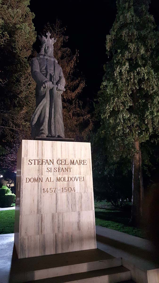
The city was founded at the end of the 14th century as Piatra lui Crăciun. After the establishment of a princely court by Ștefan cel Mare, Prince of Moldau (1433-1504), it developed into a famous center for applied arts and commerce. The nearby town of Târgu Neamț was the center of a German-speaking settler colony in the Middle Ages, hence the name, because Neamț is an outdated Romanian term for “German”.
Sightseeing features
Bicaz Gorge
A visit to the Bicaz Gorge (Cheile Bicazului in Romanian) impresses all tourists. With a length of 8 kilometers, the gorge is located in the Cheile Bicazului-Hăşmaş National Park and was created by the course of the Bicaz River. Along the gorge, the massif is crossed by the national road DN12C, which connects the cities of Bicaz (Neamţ) and Gheorghieni (Harghita), and thus also the provinces of Transylvania and Moldova. The road is one of the most impressive mountain roads in Romania.
“Dragoş Vodă” Zoo
The “Dragoş Vodă” Zoo or “Zimbrăria”, is a bison reserve and wildlife zoo. In this small zoo you can observe many native animal species in their natural habitat. The main attraction, however, are the European bison (Wisente). The zoo has been working since 2012 as part of the “Rewilding-Europe” program for the conservation of the species and the reintroduction of bison in the wild in Romania.
Ceahlău massif
The highest mountain in the Eastern Carpathians, Ceahlău is a popular tourist destination regardless of the season. The sights of the Ceahlău Mountains are diverse, from the smallest flower on the peak to large boulders with spectacular shapes. The best starting points for hiking here are the resorts of Izvorul Muntelui, Durău, or through Bicazul Ardelean, here you can also go by car to Poiana Stănile, from where you can reach the Dochia hut relatively quickly (about an hour).
The mountain can be climbed on one of the seven tourist routes established and approved:
- Route 1 – Izvorul Muntelui Hut – Poiana Maicilor – Dochia Hut, trail marking: red ribbon, travel time: 6-7 hours
- Route 2– Izvorul Muntelui Hut – Curmătura Lutu Roşu – Dochia Hut, trail marking: blue ribbon, travel time: 3 hrs 30 min
- Route 3– Izvorul Muntelui Hut – Stânca Dochiei – Jgheabul cu Hotar – Dochia Hut, trail marking: blue triangle, travel time: 3 hrs 30 min – 4 hrs
- Route 4– Durău resort – Fântânele hut – Dochia hut, trail marking: red ribbon, travel time: 3 hrs – 3 hrs 30 min
- Route 5– Durău resort – Poiana Vesuri – Duruitoarea waterfall – Dochia hut, trail marking: red cross, travel time: 4 hrs 30 mins – 5 hrs
- Trail 6 – Bicazul Ardelean – Telec – Curmătura Stănile – Dochia Hut, trail marking: blue ribbon, travel time: 7 – 8 hrs.
- Route 7– Neagra village – Curmătura Văratec – Poiana Maicilor – Dochia hut, trail marking: blue cross, travel time: 6 – 7 hrs.
Neamț Castle
Due to the lack of reliable information about the origins of Neamţ Castle, several hypotheses exist, the reliability of which has often been questioned. Some historians and philologists consider that – according to the papal bull of 1232 – the Teutonic Order from Burzenland built a castrum muntissimum on the east side of the Carpathians between 1211 and 1225, later identified as this castle. The German (or Saxon) hypothesis has been adopted by many Romanian historians.
The fortress is located on the lower slope of the 525 meter high Pleșu Hill covered with dense oak forest. The short ascent on an asphalt road starts about a kilometer west of the central Târgu Neamț crossing and leads through a tourist infrastructure with hotels and restaurants. The Neamț River flows parallel to the hill in a south-easterly direction around 600 meters past the fortress. The hill forms the eastern tip of a closed forest area belonging to the Vânători-Neamț National Park.


